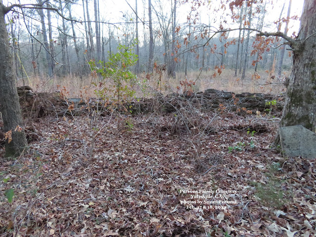
It's been seven years since we've been to the Persons Family Cemetery, outside of Yatesville, GA on State Rd. 74, east of town.
Seven years of leaves, seven years of holly bushes, honey suckle, thorny smilax, poison ivy and cider trees growing wild.
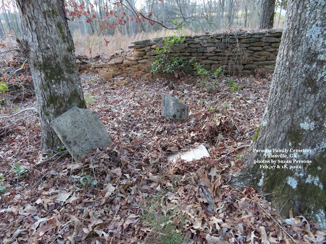
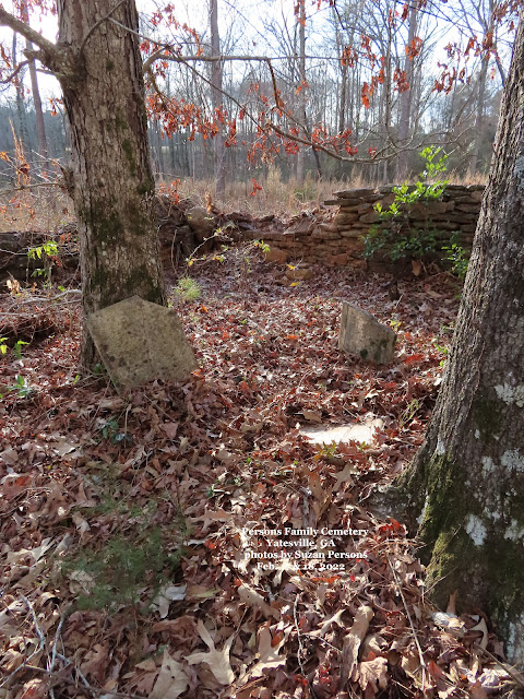
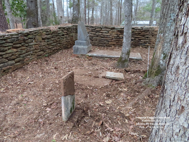
When we first entered the cemetery, I was afraid someone had taken the head stones we found back in 2012.
Fortunately, they were all there, just covered deep, in layers of leaves, briars and vine roots.
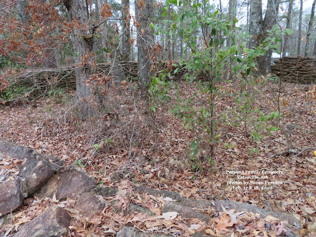
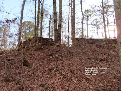
The back corner wall has caved in,
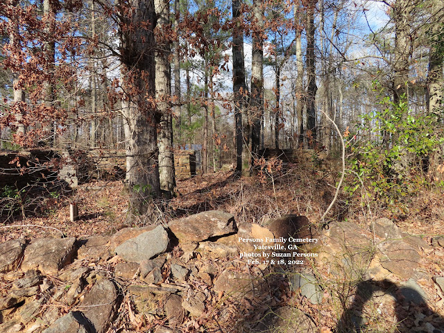
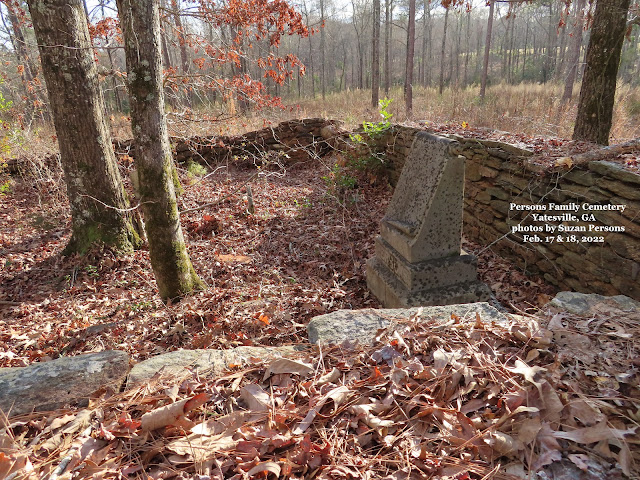
Looking up at the front entrance of the cemetery wall,
standing next to the road.
standing next to the road.
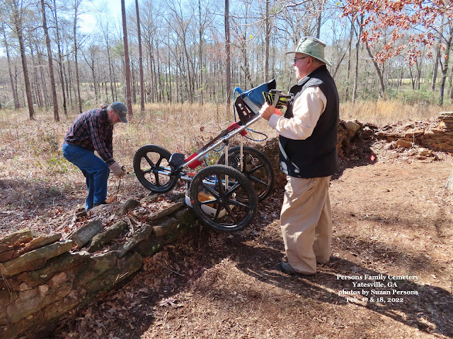
The next day, Len Strozier of Omega Mapping came out with a Robotic GPS system to map the cemetery.
Click on OMEGA MAPPING SERVICES for the web site and information about Len's GPR Services.
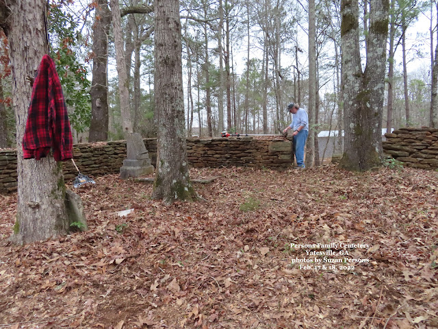
In order to accurately do the subsurface imaging, we had to
CLEAN & CLEAR the cemetery, down to the dirt.
 |
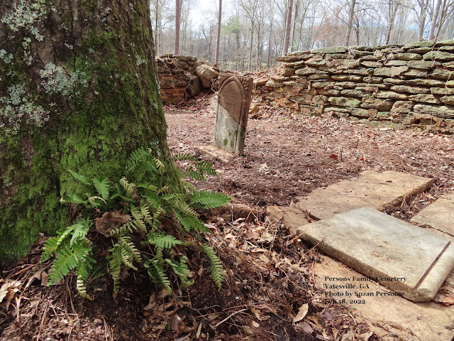
We defiantly know of three graves because of the stones, but felt there were more in this 26' x 26' cemetery and according to Jones Persons' Probate papers, his son Lovett, had the rock wall built around his father's grave.
Marked grave stones belong to Lovett & Malinda (Lyons) Persons and their baby son James Persons.
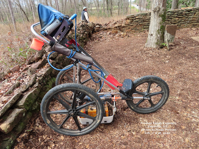
"GPR (Ground Penetrating Radar) is an Ultra Wide Band (UWB) pulse-based technology that locates objects buried underground. It is used to locate underground utilities, underground storage tanks, pipes, burials, memorials and more."
from https://omegamapping.com/what-is-gpr/
copied 2/26/2022
copied 2/26/2022
"GPR is a method of viewing buried infrastructure or objects located underground, without digging."
from https://omegamapping.com/what-is-gpr/
copied 2/26/2022
copied 2/26/2022
"The GPR can detect disturbed soil caused by: wooden and /or metal caskets, voids in the earth with little to no surviving skeletal remains, burial objects, vaults, and unmarked graves."
from https://omegamapping.com/cemetery-gpr-mapping/
copied 2/26/2022
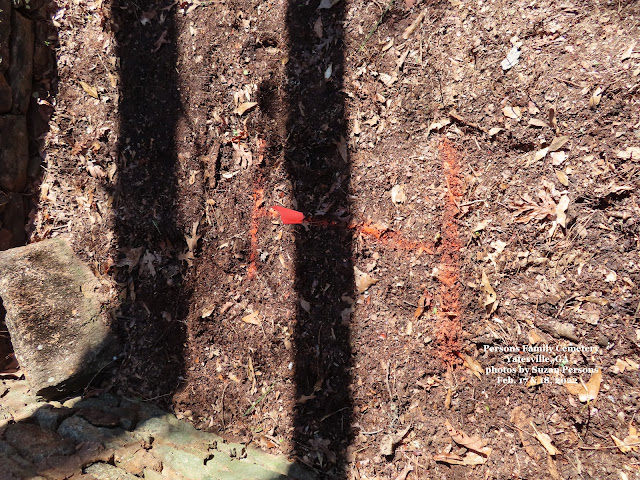
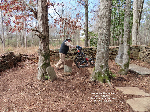
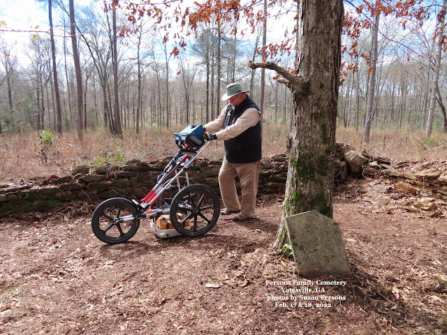
Len found five unmarked graves.
He was able to determine if the person was a child, a teenager or female or a male adult. He was also able to tell if the person was buried in a shroud or a wooden coffin and the condition of the coffin.
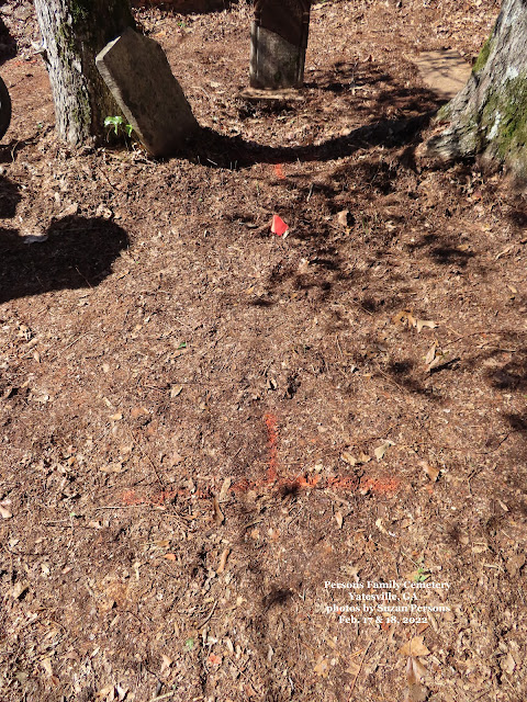
After walking laps, back and forth, from wall to wall, Len ran the scanner back over the ground and marked the unmarked graves with orange spray paint and an orange flag.
The only thing that the GPR couldn't do was to tell me the names of the people buried in the unmarked graves.
Grave of James Persons.
Son of Lovett and Malinda (Lyon) Persons.
b. 1855 d. 1856
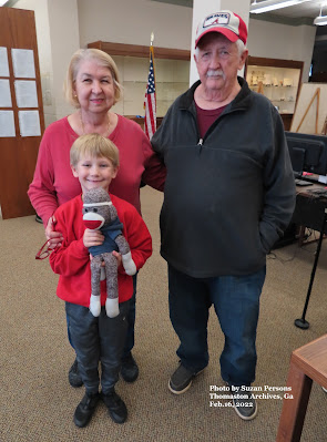
Before heading out to the Persons Cemetery, we met up with Grady, his wife Brenda and Grandson at the Thomaston Archives. Grady volunteers for the Archives and was instrumental in finding the cemetery, then helping to clean it up in 2011, 2012 and 2015.
So many Thanks to you Grady!
